

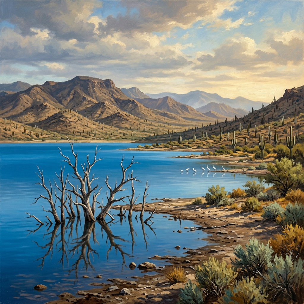
Drive east out of Port-au-Prince, across the flat sweep of the Plaine du Cul-de-Sac, and after about twenty kilometres the land simply stops and an enormous sheet of blue begins. This is Lake Azuéi — Étang Saumâtre on the old French maps — the largest lake in Haiti and the second largest on the whole island of Hispaniola. What you notice first is the color, an improbable mineral blue against dry brown hills bristling with cactus. What you notice second, if you look carefully at the shallows, is the trees. Dozens of them, bare and grey, standing dead in water well out from shore. They are not decoration. They are a measurement. Every one of them was rooted in dry ground within living memory, and the lake came and took it.
A Sea That Never Left
To understand Azuéi you have to think in geological time, because the lake is a leftover from an older map of the world. It sits in the Cul-de-Sac Depression, a rift valley — geologists call this kind of structure a graben — where a block of the earth’s crust has dropped between two parallel faults. The same trench continues across the border into the Dominican Republic, where it is called the Hoya de Enriquillo and holds Lake Enriquillo, Azuéi’s larger twin. Much of this trough lies below sea level.
In the Pleistocene, that trench was not a valley at all. It was open sea — a marine strait that ran clean through, and Hispaniola was not one island but two, a northern paleo-island and a southern one, separated by salt water. When the sea eventually withdrew, it left the strait behind as a chain of lakes stranded in the bottom of the rift. Azuéi is that trapped water, slowly freshening over millennia but never entirely losing its origins. It remains brackish to this day, around a fifth as salty as the ocean, and along its northwestern shore there are still mangroves growing — the direct botanical descendants of a coastline that has not existed for tens of thousands of years. Stand there and you are looking at a seashore that forgot to leave.
The Crocodiles of the Cul-de-Sac
That strange chemistry — too salty for most freshwater life, too fresh for the sea — has made Azuéi one of the most biologically distinctive places in the country. More than a hundred species of birds have been recorded on and around the lake. American flamingos work the shallows in their unhurried, head-down way. Roseate spoonbills sweep the mud. Great blue herons stand in the reeds; ospreys hunt the open water; and in the northern winter the lake fills with migratory waterfowl that have come down the Atlantic flyway to wait out the cold.
And then there are the crocodiles. Azuéi holds a small but genuinely established population of American crocodiles, Crocodylus acutus — one of only two places in all of Haiti where the species still hangs on, and critically endangered within the country. They live along the shoreline and in the reed beds, mostly out of sight, mostly wanting nothing to do with anyone. Several other creatures found here occur nowhere else in Haiti at all. For a country whose environmental story is usually told as a story of loss, the lake is a reminder that there are corners where the original inhabitants are still present, still holding on, still doing what they have always done.

The Water That Would Not Stop Rising
Then, around 2003, the lake began to grow. Not seasonally, the way it always had, and not by the modest margins anyone would have called normal. It simply started rising and did not stop. Over the following years the surface climbed roughly ten metres. The lake’s area went from about 155 square kilometres in 2004 to some 354 square kilometres by the mid-2010s — more than double, in barely a decade. Across the border, Lake Enriquillo was doing precisely the same thing at precisely the same time.
A lake that doubles does not do so politely. It advances across the flattest, most fertile, most densely farmed land available, which on the Plaine du Cul-de-Sac is exactly the land people were living on. Thousands of hectares of farmland went under. So did roads, wells, and homes. In the Haitian village of Letant, families began abandoning their houses as the water reached them, moving uphill and rebuilding out of wood and tarpaulin and whatever else could be carried. By 2012 all eighty-three houses in Letant had been vacated. The village had not been destroyed by a storm or an earthquake — Haiti knows both — but by water that simply arrived, slowly, and did not go away.
A Mystery Scientists Still Argue About
The obvious question — why? — still does not have a settled answer, which is a remarkable thing to be able to say about two large lakes on a well-studied island in the twenty-first century. Several explanations are on the table, and they are not mutually exclusive. One points to changing rainfall patterns and warmer sea-surface temperatures in the Caribbean, feeding more water into the basin than it used to receive. Another points to deforestation in the mountains upstream: strip the slopes of trees and rain that once soaked into soil and root systems runs straight off the hillsides and into the trough at the bottom, carrying sediment with it. A third looks underground, at shifts in the groundwater and spring systems that feed the lakes from below.
What makes the puzzle sharper is that the trough has no outlet. Water enters the Cul-de-Sac Depression, and it leaves only by evaporating. A closed basin like that is exquisitely sensitive: tilt the balance between what comes in and what evaporates away by even a little, sustain it for a decade, and the water has nowhere to go but up and outward across the plain.
The Road to Malpasse
The lake’s rise is not only an environmental story; it is an economic and diplomatic one. The binational highway that runs along the southern shore to the crossing at Malpasse is the main artery of formal trade between Haiti and the Dominican Republic, and the water has repeatedly chewed through it, flooding the roadbed and cutting the link on which a great deal of commerce depends. Two governments that agree on relatively little have had to sit down over this particular problem, because a rising lake does not recognise a border drawn on a map.
The cruellest part of the story is a loop. Most of the people who lost land to the lake were small farmers, and a farmer without a field has to find another way to eat. Many turned to making charcoal — cutting what trees remain and burning them down to fuel for the cities. Which is to say: the water took their fields, and the response to losing those fields removes still more of the forest cover that may be part of why the water is rising in the first place. The lake creates the conditions that feed the lake. Breaking that loop is not a matter of finding one clever intervention; it means giving displaced families something to live on that does not require them to cut down what is left.
Lake Azuéi is beautiful in the way that serious places are beautiful — flamingos in the shallows, crocodiles in the reeds, an impossible blue held in the bottom of a rift valley that used to be the sea. It is also a place where Haitians are living with a slow catastrophe nobody caused deliberately and nobody has fully explained. Both of those things are true at once, and holding them together is most of what it takes to see the country clearly. At HaitiPAM we tell Haiti’s story in all its dimensions — the geology and the wildlife, the villages and the losses, and the people still standing on the shoreline watching the water.
Leave a Reply